
Dobrča
The westernmost part of the Kamnik-Savinja Alps
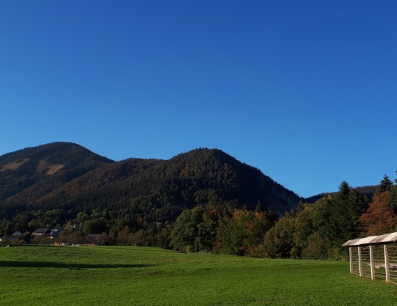
Above the hilly Ljubljana Basin, between Tržič and Begunje na Gorenjskem, rises the panoramic 1634-metre-high mountain of Dobrča. You can choose from among a number of marked paths to reach the summit, most of them starting from the foothill villages of Brezje pri Tržiču, Hudi Graben or Srednja Vas.
 1 / 13 Dobrča
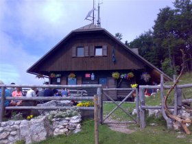 2 / 13 A hut on Dobrča
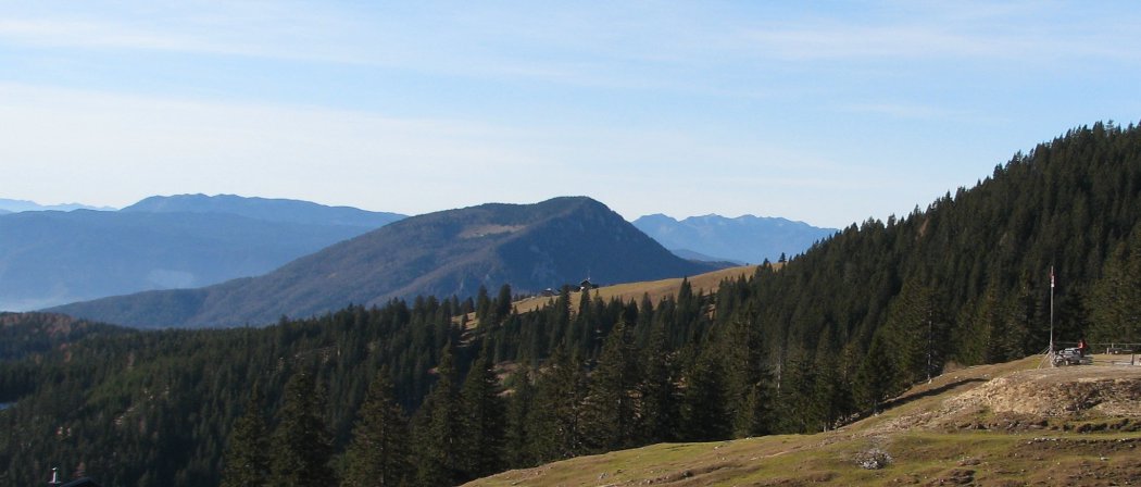
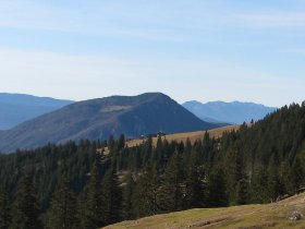 3 / 13 Dobrča and Lešanska mountai...
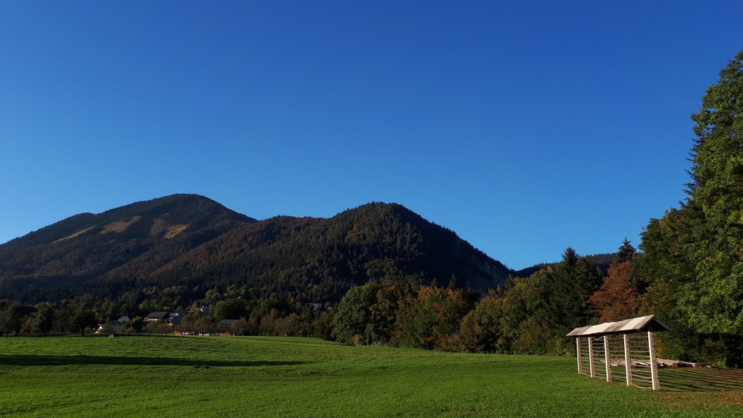
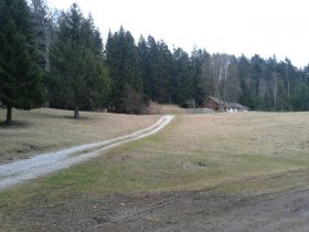 4 / 13 Bistriška mountain pasture
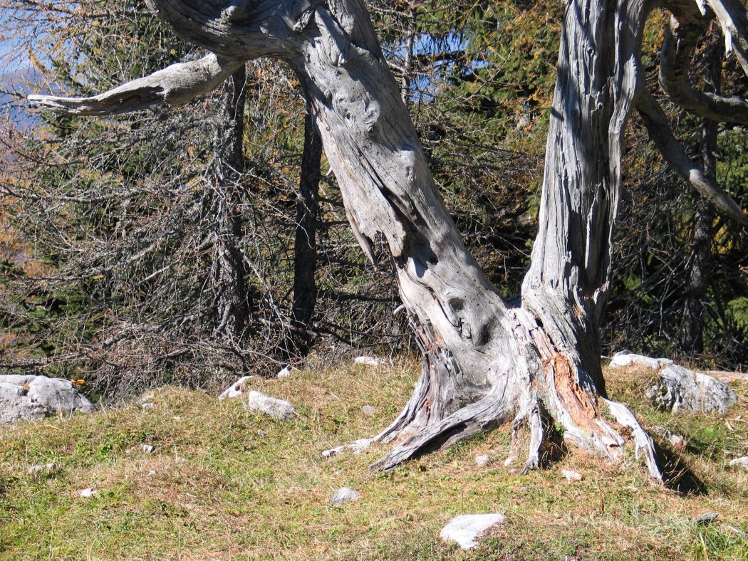
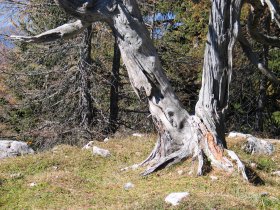 5 / 13 An old tree on Dobrča


In Bistrica pri Tržiču follow Begunjska Road. Shortly after the settlement of Bistrica, turn sharply right onto the gravel road that leads to the Church of St. George. Park on the side of the road and continue on foot along the road to the nearby shrine, where you turn left and go uphill onto a farm track. There is a signpost of the Tržič Alpine Club at the shrine.
After a few minutes of ascent, you can turn right up the mountain slope to the ruins of Altgutenberg Castle, also called “Hudi grad”. As you continue along the ridge, you will be afforded occasional views of Kriška Gora, which rises above the far bank of the Tržič Bistrica. At the end of the pine-covered ridge, turn to the right onto a farm track that leads through a beech forest to a grassy area called “Planin'c” by the locals. Since there are quite a few farm tracks, footpaths, and logging skid trails above Planinci, pay close attention to the trail markings.
At Bistriška mountain pasture you will come to the road that leads from Brezje pri Tržiču and follow it all the way to Lešanska mountain pasture. The last part of the route to the pasture is quite steep, but from there it is only a stone’s throw to Dobrča Mountain Hut.
All the hard work of the climb is forgotten the moment you arrive at the hut, where you will first want to take in the views all around. They are truly spectacular in virtually all directions. The view to the north is obscured by the slopes of Dobrča, but to the east you can see Kriška Gora, Storžič and the Kamnik-Savinja Alps, to the southeast the Sava Hills, the Ljubljana Basin, and the mountain ranges of Slovenia's interior, including Snežnik. You can also see the Polhov Gradec and Škofja Loka range, the plateaus of Jelovica and Pokljuka, and the Julian Alps with Triglav.
If you are still warmed up you can climb to the top of Dobrča in about half an hour, or take a longer route over rugged terrain to the mountain pasture of Preval below Begunjščica.
Maps:
- Karawanks-central part 1:50 000, PZS
- Stol and Begunjščica 1:25 000, PZS