
Via Alpina - The Purple Trail
The Via Alpina connects eight Alpine countries: Austria, France, Italy, Lichtenstein, Monaco, Germany, Slovenia and Switzerland. Slovenia is crossed by the Red and Purple Trails. The latter consists of 66 stages through three countries: Austria, Slovenia, and Germany. For the most part the trail goes through relatively undemanding terrain, but for those who aspire to more challenging ascents, the four segments that cross the Municipality of Tržič offer limitless opportunities.
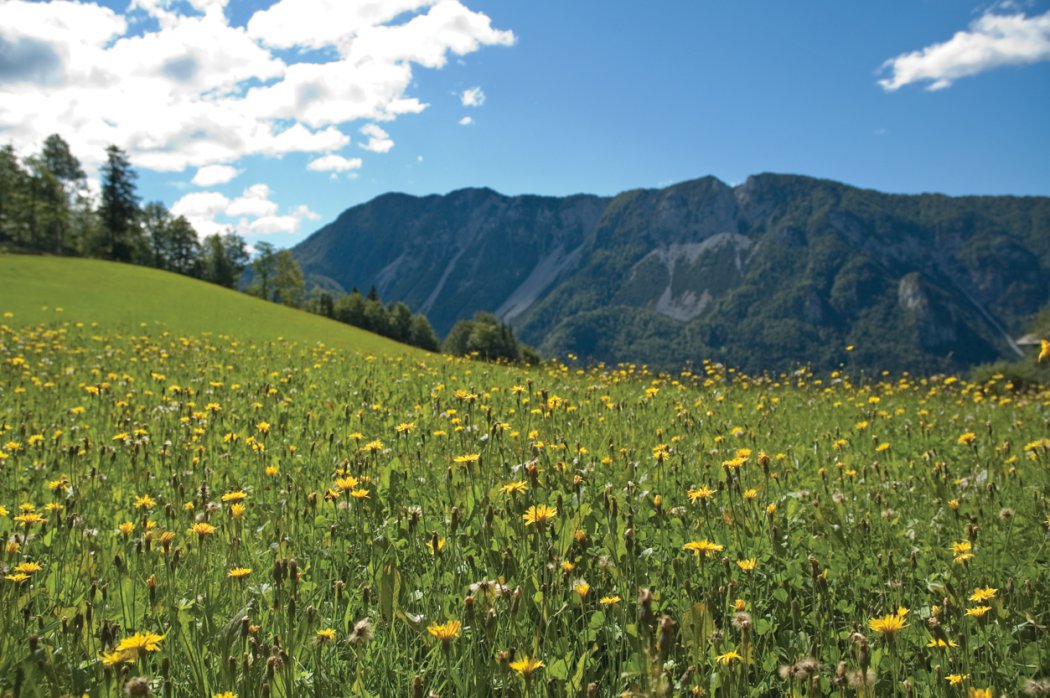
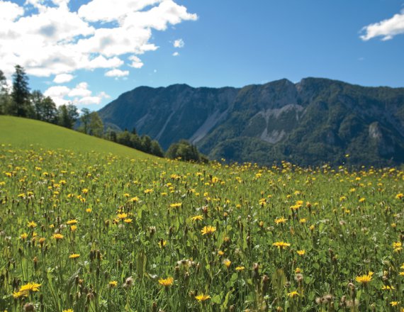 1 / 14 Via Alpina - The Purple Trail
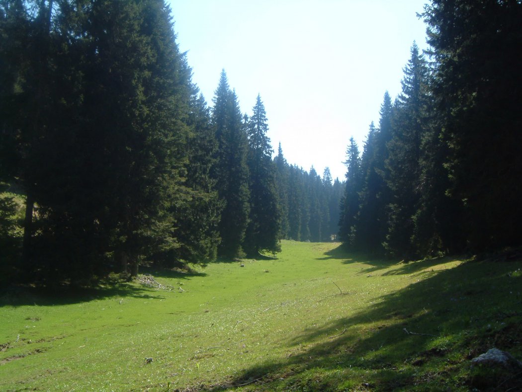
 2 / 14 A clearing between Javornik...
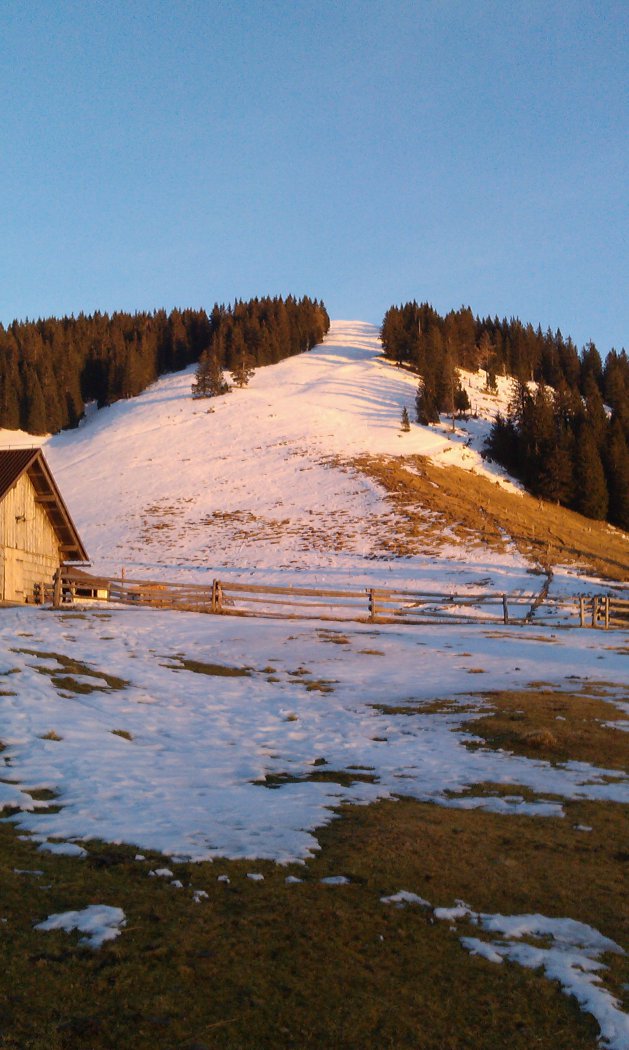
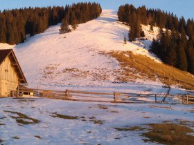 3 / 14 Javornik at the and of the ...
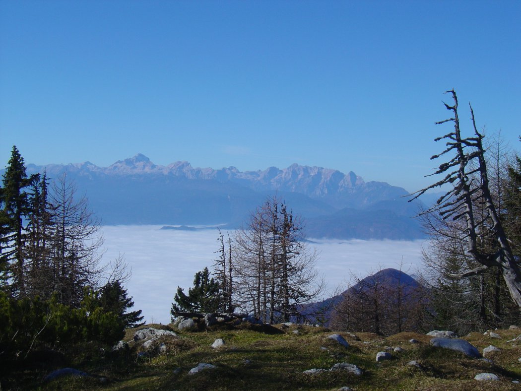
 4 / 14 Julian Alps from Dobrča
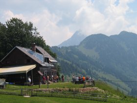 5 / 14 Koča na Kriški gori

4 stages, 15 hours and 55 minutes of moderate walking, 42.6 kilometres of scenic trails
The Via Alpina is classified as a mountain hiking trail and is thus marked with the Knafelč sign (a white dot within a red circle), with additional identification provided by Via Alpina signs. At the end of each stage there is an information panel. Four stages cross the Municipality of Tržič: between Roblek Mountrain Hostel and Dobrča Mountain Hut from Dobrča Hut to Tržič, from Tržič to Storžič Mountain Hostel, and from there to Zgornje Jezersko.
From stage to stage
Roblek Mountain Hostel – Dobrča Mountain Hut
Length: 8.1 km, hiking time: 3 hours 30 minutes
This stage begins at Roblek Mountain Hostel below Begunjščica (1657 m) and takes you eastwards across the southern slope of Begunjščica. This section of the trail offers a beautiful view of the Ljubljana Basin, Bled and the Julian Alps. This is followed by a moderate descent to Preval mountain pasture, where you can enjoy authentic herder’s meals in summer. The trail continues along a rugged part of the Slovenian Mountain Trail to Podgorska mountain pasture, from where those with sufficient remaining strength can climb to the summit of Dobrča (1634 m), while the rest complete the stage at Dobrča Mountain Hut (1478 m).
Dobrča Mountain Hut - Tržič
Length: 8.1 km, hiking time: 2 hours 30 minutes
From Dobrča Mountain Hut descend to the Mošenik and Tržič Bistrica valley. The trail goes runs through Lešanska mountain pasture, where you can stop for a moment and take in the view to the east, where the next two stages will take you. To the north rises the mighty ridge of Košuta, and Stegovnik, Javornik and Storžič can also be seen clearly; beneath the latter two is the glacially sculpted Lom Valley.
Continue the descent to Bistrica mountain pasture, where you need to watch for the fork in the trail in the southern part of the trail. Take the left one. Descend into the Mošenik Valley, come out of the forest to a meadow and continue walking past a farm towards Tržič, which is the destination of the second stage.
Tržič – Storžič Mountain Hostel
Length: 9.5 km, hiking time: 5 hours 30 minutes
The previous stage started out high up in the mountains and descended into civilization; today’s stage is a more challenging ascent into a beautifully preserved natural environment. From the centre of Tržič, climb the ridge over Mala and Velika Mizica to Kriška Gora Hut (1471 m), where you can have a welcome stop for lunch and enjoy a beautiful view of the Ljubljana Basin. Above Kriška Gora you can admire the Alpine choughs as well as, in suitable weather, the many paragliders who have takeoff points on and below Kriška Gora.
The view to the east shows the continuation of the trail across Tolsti Vrh. It will take you closer and closer to the mighty Storžič, whose foot you will reach at the end of today's stage. Those with the most stamina can reach Storžič Mountain Hostel (1123 m) by way of an ascent of Storžič by way of Psica, then descend into the Lom Valley via Žrela, but the route is very challenging. Most hikers therefore take the route by way of Mala Poljana and Jesenje mountain pasture. At Storžič Mountain Hostel you can take time for a rest and a delicious hot meal served by the caretaker.
Storžič Mountain Hostel - Zgornje Jezersko
Length: 16.9 km, hiking time: 4 hours 25 minutes
Ascend through forest, forest clearings and meadows to Javornik mountain pasture. Above you to the right is Veliki Javornik or Ženiklovec, where there used to be a small ski area, and today is a paradise for ski touring enthusiasts.
Follow the road for a short time and where it takes a sharp left turn, take the trail to the right, which leads towards Stegovnik through a forest clearing. Stegovnik (1692 m) is a scenic mountain ridge between Košuta and Storžič, with the oldest rocks in the Tržič area. The ascent is challenging in places and interesting, as part of the route involves going by ladder through a natural window. The only thing separating you from the top is the rather steep ascent along a gully.
Walk over the ridge towards the northeast and descend to Fevča mountain pasture and further on past Močnik Saddle to Spodnje Jezersko. From there it’s a 25-minute walk to Zgodnje Jezersko, mostly along a paved road.