
The Rosary Bead Trail – The World’s Largest Natural Rosary Bead!
While I can’t be certain whether the claim of the Rosary Bead Trail that it is “the largest natural rosary bead in the world” holds true, it certainly is a lovely walk that connects four churches and leads through remote villages and countryside. Be sure to add it to your list of things to see and do while exploring the Gorenjska area!
Though originally designed as a pilgrimage trail, this 12km circular trail is also a great way to escape the crowds and appreciate the beauty of the unspoilt countryside between Tržič and Radovljica.
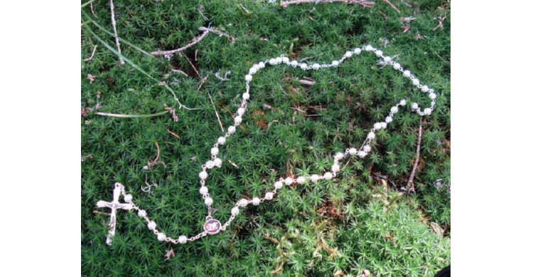
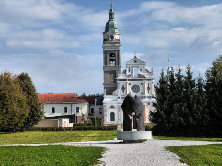
The trail begins in Brezje at the Basilica of Mary Help of Christians – Slovenia’s national pilgrimage sanctuary – from where in five stages it follows a route through the forest, across streams, through villages and along country lanes, and all in the shape (when viewed from above) of a rosary bead.
Below is an overview of, and a few insights into, the trail.
The first part leads from the basilica to the junction for Peračica. The first trail marker is at the rear of the basilica, from where you should set off in an easterly direction for 100 metres towards the yellow roads sign for Peračica and Dobro polje. Follow the road towards Peračica steeply downhill, passing a sign for the Path of Peace (Pot miru), until you reach a junction and the next trail marker with a map of the trail.
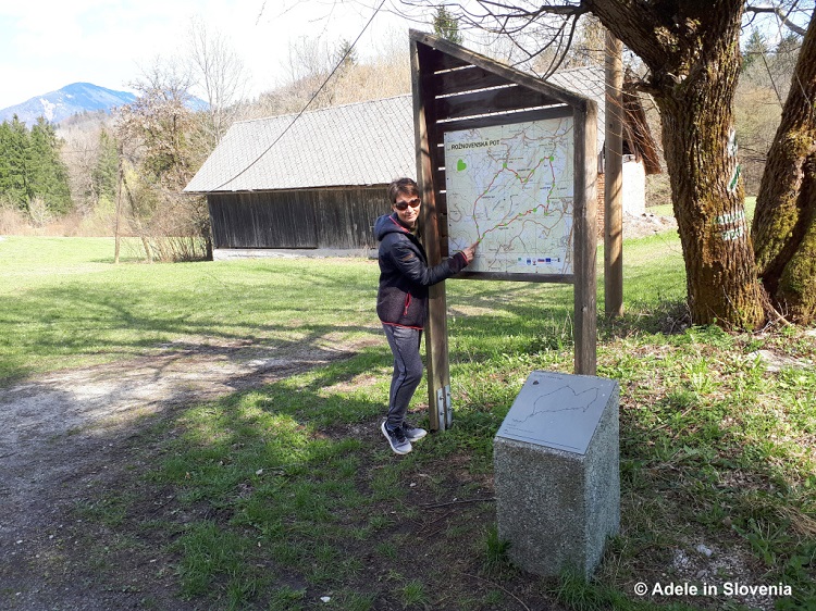
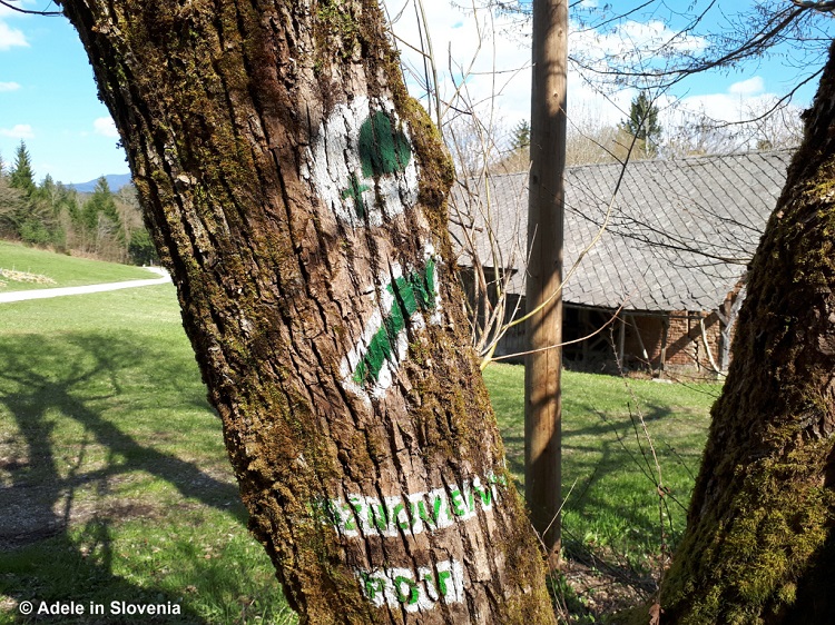
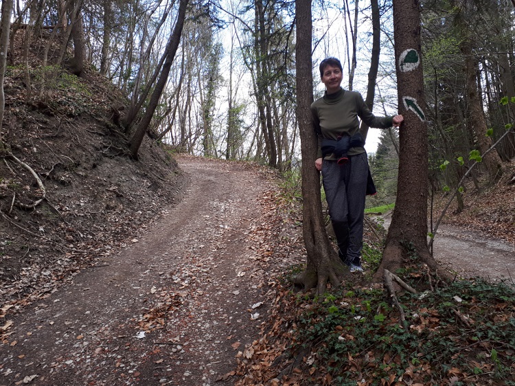
The trail is well marked throughout with green markers on trees as well as cement posts with plaques showing where you are on the trail.
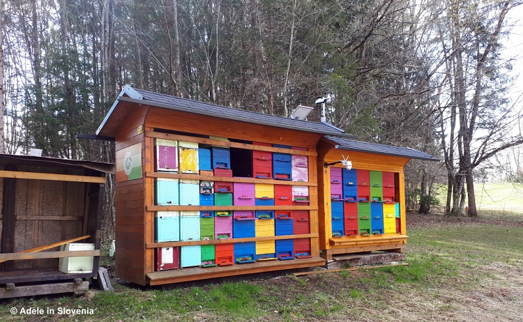
Turn right and follow the country lane, passing another trail marker (on the right) and a colourful, traditional Slovenian apiary (on the left). The road leads down to cross a stream and then later, at a sign for Kovor, the trail branches off from the road into the forest.
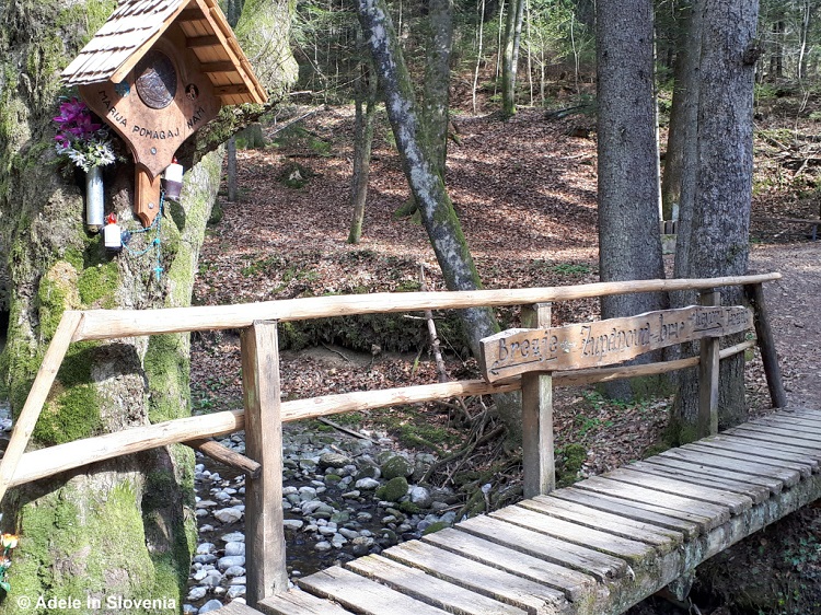
Unless otherwise marked, keep straight ahead ignoring any paths that branch off to the left or right. You will reach a small wooden bridge over a stream with a bench, which is an ideal place to take a break.
The trail now leads slightly uphill to reach another fork where you take the path uphill to the left, which eventually emerges in the village of Kovor.
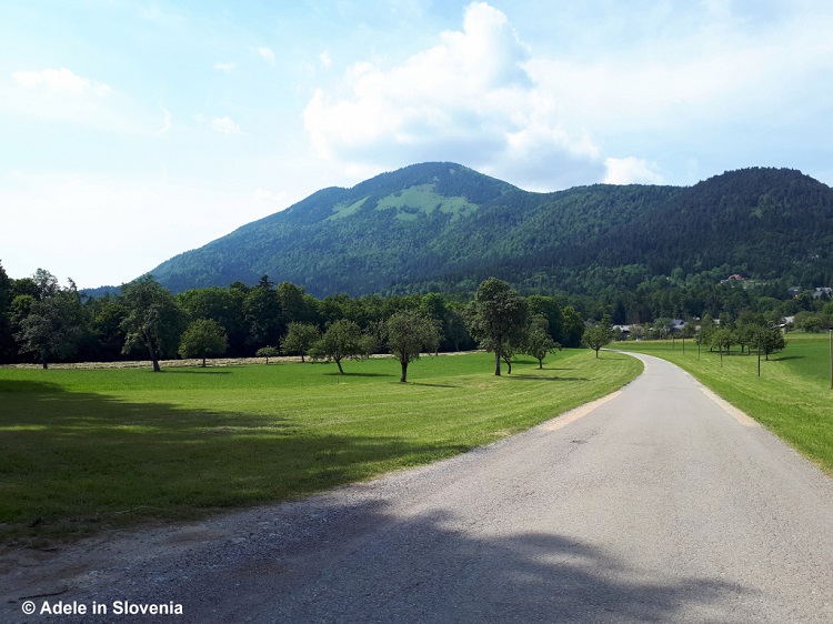
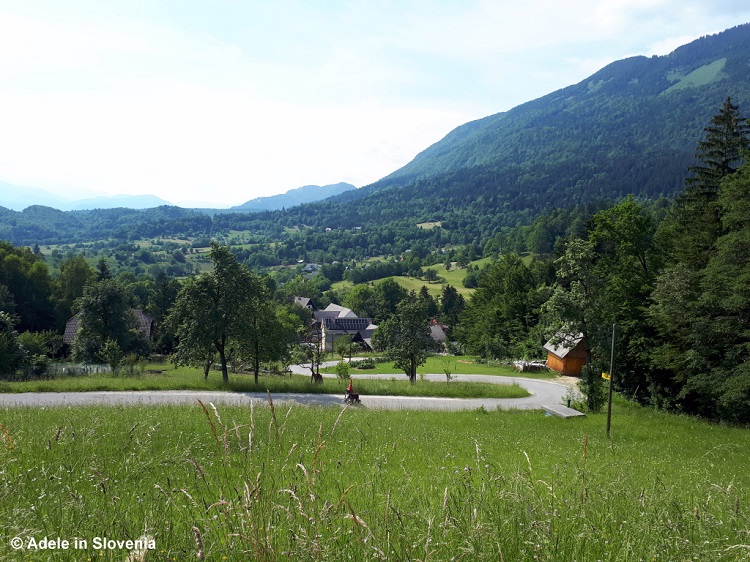
From Kovor the path continues towards Brezje pri Tržiču, not to be confused with the village of Brezje where the walk begins! This part of the route is on quiet country lanes with beautiful views of the countryside and hamlets beneath Mt. Dobrča.
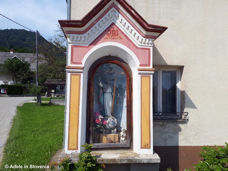
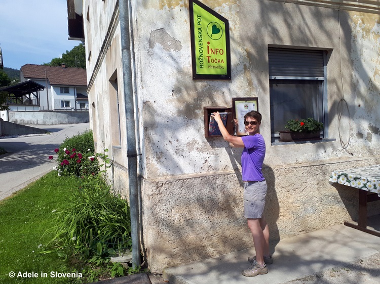
On reaching Brezje pri Tržiču, there is a shrine and an information point with a visitors book.
I thought I knew the area pretty well, but from here I was in unknown territory and discovered a few villages in the municipality of Tržič, such as Vadiče, that I didn’t even know existed!
The final part of the trail leads to the village of Leše, from where it leads back to the start at the basilica in Brezje.
Click here to read more about this and other footpaths, hiking trails and other natural and cultural attractions in the Tržič area. The Tržič area, as well as the rest of the country, is now slowly reopening to tourists. There are various requirements for entry, depending on whether the country you are coming from is on Slovenia’s green, orange, red or dark red list. Click here for the latest information, but note that it can literally change overnight – as it did yesterday.
© Adele in Slovenia