Sentieri per ciclisti
Restringi la selezione in base alla durata del tragitto:
Restringi la selezione in base alle caratteristiche dei sentieri:
25 sentieri
-
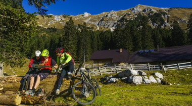
K11 – Le alpi sotto il Košuta
Per tutti gli amanti dei panorami infinitiUno dei percorsi in bicicletta più belli e panoramici della regione dell’Alta Carniola attraversa boschi ombrosi e terreni erbosi ai piedi del versante meridionale del Košuta, la montagna più lunga della Slovenia.
tipo di sentiero: mountainbike
lunghezza: 40 km
dislivello: 1.250 m
difficoltà: ***
vista: *****
-
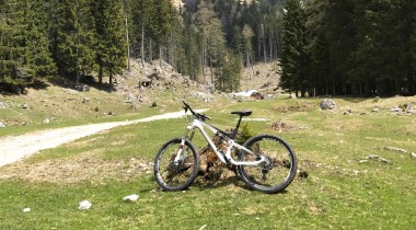
K12 – L’alpe Dolga njiva
Attraverso la gola di Dovžan fino alla parte più orientale del KošutaIl percorso da Tržič attraverso la gola di Dovžan, con grado di difficoltà medio, scorre principalmente su strade forestali fino alla montagna più orientale delle Caravanche di Tržič.
tipo di sentiero: mountainbike
lunghezza: 35 km
dislivello: 1.000 m
difficoltà: ***
vista: ***
-
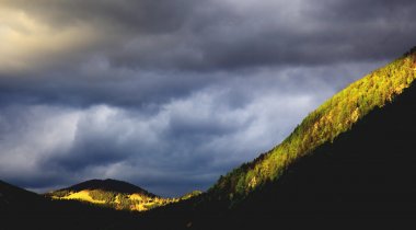
K14 – Sull’alpe Javornik attraverso Medvodje
Un percorso circolare intorno al KonjščicaDalla valle di Tržiška Bistrica questa volta ci dirigeremo verso l'alto in direzione sud ... oltre la collina Bukov hrib e l’alpe Vetrh fino al monte Javornik, e da lì attraverso la valle di Lom verso il rifugio sotto lo Storžič. Un percorso bello e panoramico.
tipo di sentiero: mountainbike
lunghezza: 34 km
dislivello: 1.100 m
difficoltà: *****
vista: *****
-
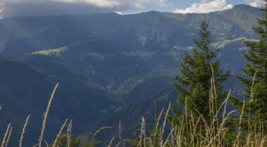
K15 - Sul Konjščica attraverso l’alpe Vetrh
Da Medvodje passando per il pascolo Vetrh fino al panoramico KonjščicaUn percorso ciclistico di media intensità ci porta attraverso la gola di Dovžan e Jelendol fino al monte Vetrh. Godendovi le viste mozzafiato, salirete sull'alpe Konjščica e scenderete passando per la fattoria Pavšel fino a Lom pod Storžičem.
tipo di sentiero: mountainbike
lunghezza: 35 km
dislivello: 1.050 m
difficoltà: ***
vista: ****
-
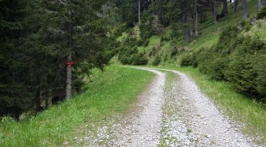
K16 - Tržič - Jezersko
Da Tržič attraverso il Pečovnik a JezerskoIl sentiero conduce principalmente attraverso boschi ombrosi ed in alcuni punti è molto impegnativo. Ma tutto lo sforzo viene ripagato con un silenzio immenso e una vista meravigliosa. Per tornare da Jezersko a Tržič, se non vogliamo pedalare per 35 km su una strada asfaltata e piuttosto trafficata, dobbiamo organizzarci un passaggio.
tipo di sentiero: mountainbike
lunghezza: 28 km
dislivello: 1.100 m
difficoltà: *****
vista: ****
-
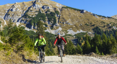
K17 – La traversata del Košuta
Dolga njiva - KofceAttraversare il Košuta lungo la dorsale è una sfida per tutti gli escursionisti e solo pochi ciclisti di mountain bike esperti possono affrontare la traversata che inizia a diverse centinaia di metri più in basso.
tipo di sentiero: mountainbike
lunghezza: 43 km
dislivello: 1.350 m
difficoltà: *****
vista: *****
-
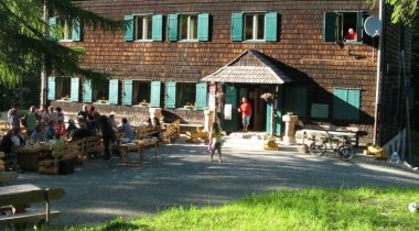
K21 – Rifugio sotto lo Storžič
Un percorso facile attraverso la Valle di Lom fino ai piedi dello StoržičLa Valle di Lom a nord-est di Tržič si trova sopra la valle di Tržiška Bistrica, intrappolata tra il Konjščica e lo Javornik a nord e lo Storžič e il Kriška gora a sud. In bici attraverso la lunga valle glaciale la nostra vista spazierà in lungo e in largo. Da Slaparska vas in poi, la strada forestale conduce lungo il rinfrescante torrente Lomščica.
tipo di sentiero: mountainbike
lunghezza: 18 km
dislivello: 650 m
difficoltà: ***
vista: ***
-
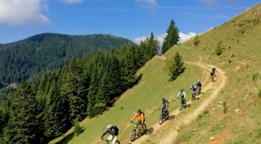
K22 - L’alpe Javornik
Un percorso circolare di difficoltà media attraverso la valle di Lom e attraverso lo JavornikQuando guardiamo Tržič dalla direzione occidentale, ad esempio dal Dobrča o dal Huško polje, la nostra vista si ferma quasi sempre sul verde prato erboso dello Javornik, che è il monte orientale vicino al Konjščica e al Bela peč. Nascosto dietro lo Storžič ci sta aspettando per essere conquistato. In sella ad una mountain bike ovviamente.
tipo di sentiero: mountainbike
lunghezza: 28 km
dislivello: 1.100 m
difficoltà: *****
vista: ****
-
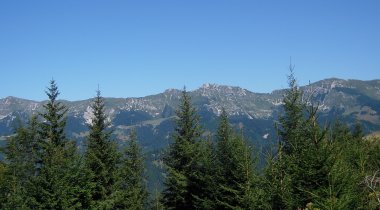
K24 - Sul Konjščica attraverso l'alpeggio Tič
Un sentiero panoramico mediamente difficile attraverso l'alpeggio TičIl Konjščica anche all’imbrunire, quando a Tržič è già buio, è illuminato dal sole della sera, quindi il percorso è perfetto per una fuga nel verde nel tardo pomeriggio.
tipo di sentiero: mountainbike
lunghezza: 19 km
dislivello: 850 m
difficoltà: ***
vista: ***
-
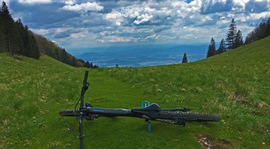
K25 – Intorno al Kriška gora
Un percorso circolare variegato ed impegnativoLe pendici meridionali del monte Kriška Gora attraggono molti escursionisti che apprezzano i panorami e i parapendisti in cerca di un’eccellente termica. Con una mountain bike e un buon livello di conoscenza tecnica, non conquisteremo il monte, ma piuttosto lo circumnavigheremo.
tipo di sentiero: mountainbike
lunghezza: 25 km
dislivello: 1.100 m
difficoltà: *****
vista: ****
-
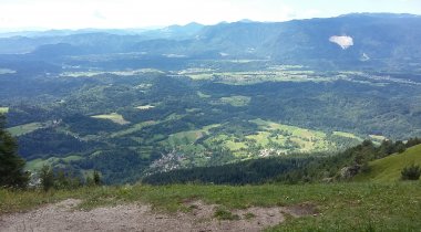
K31 – Attraverso l’alpe Bistriška planina verso il Dobrča
Dal lato di Podljubelj attraverso l'alpe Bistriška planina fino a una vista panoramica dalla panchina di Polde - Poldetova KlopcaIl percorso vario e vivace ci porta da Tržič a Podljubelj, ben presto attraversiamo le colline verso l’alpe Bistriška planina. Svoltiamo verso il Dobrča, e sotto l’alpe Lešanska planina, proseguiamo verso la panchina di Polde (Poldetova klopca) in direzione dell’area di decollo per il parapendio. Che la goduria e che la vista dei magnifici panorami abbia inizio.
tipo di sentiero: mountainbike
lunghezza: 19 km
dislivello: 950 m
difficoltà: ***
vista: ****
-
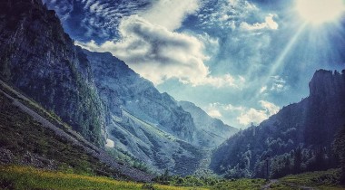
K32 – Intorno al Begunjščica e al Dobrča
Un percorso circolare impegnativo nel cuore delle CaravancheAttraverso Podljubelj pedaleremo verso lo Zelenica, dove a 1.560 m si trova il punto più alto di un percorso lungo ed impegnativo, che, oltre alle difficili salite, ci offre splendidi panorami nel cuore delle Caravanche.
tipo di sentiero: mountainbike
lunghezza: 37 km
dislivello: 1.400 m
difficoltà: *****
vista: *****
-
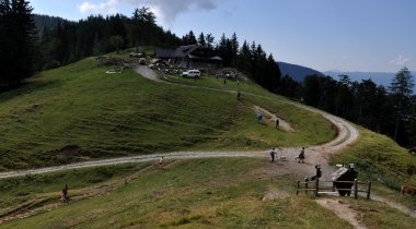
K34 – Su e giù per il Dobrča
Un percorso fisicamente molto impegnativo, uno dei più lunghi ma anche uno dei più interessanti di TržičNon solo gli alpinisti, ma anche i ciclisti e i parapendisti che si lanciano dalle pendici meridionali in cerca della termica ideale, conoscono bene il Dobrča. Anche se questa volta non lo scaleremo, ci gireremo intorno e alla fine del percorso potremmo vantarci di aver superato 1300 m di dislivello.
tipo di sentiero: mountainbike
lunghezza: 33 km
dislivello: 1.300 m
difficoltà: *****
vista: ****
-
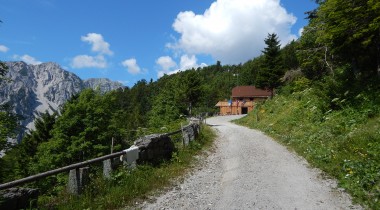
K35 – Il Passo di Ljubelj
Salita fino alla cima del passo stradale più antico d'EuropaLa vecchia strada di Ljubelj attraversa il più antico passo stradale d'Europa e oggi è chiusa al traffico automobilistico. 13 tornanti e pendenze importanti ogni seconda domenica di settembre deliziano i partecipanti e gli spettatori del Memoriale di Hrast – la gara di montagna di auto e moto d’epoca, nei restanti 364 giorni dell'anno incontreremo qui solo escursionisti e ciclisti.
tipo di sentiero: mountainbike
lunghezza: 26 km
dislivello: 900 m
difficoltà: ***
vista: ****
-
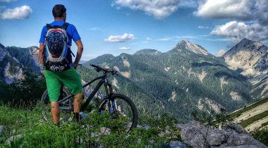
K36 - Zelenica – sentiero di confine
Il sentiero di confine per i più espertiLo Zelenica d’inverno è un paradiso per lo scialpinismo mentre in estate è una destinazione attraente per molti escursionisti. Il sentiero di confine è nascosto nella faggeta sotto la dorsale del Ljubeljščica ed è una vera delizia anche per gli alpinisti più esperti.
tipo di sentiero: mountainbike
lunghezza: 5 km
dislivello: 500 m
difficoltà: *****
vista: ***
-
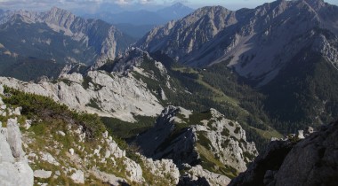
K37 – Intorno al Begunjščica: Preval, Zelenica
Uno dei percorsi più impegnativi nella zona di TržičIl Begunjščica, come le altre cime delle Caravanche, mostra due volti completamente diversi; le pendici meridionali sono erbose e illuminate dal sole, mentre le pendici settentrionali sono rocciose e ombrose. Lungo questo percorso impegnativo, con 1.750 m di dislivello, prima scopriremo la parte più piacevole, quella meridionale, e nella seconda parte ci rallegrerà il calore offerto dal rifugio Planinski dom sullo Zelenica e il fatto che davanti a noi c’è un ottima discesa lungo il sentiero di confine.
tipo di sentiero: mountainbike
lunghezza: 38 km
dislivello: 1.750 m
difficoltà: *****
vista: *****
-
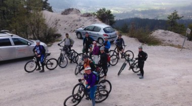
K41 - Bistriška planina - Ravne (Rock'n'roll)
Percorso circolare moderatamente difficile attraverso l'alpe Bistriška planinaDopo Kovtrn'c, la strada ci porterà fuori dal bacino di Tržič fino a raggiungere la soleggiata Santa Agnese, dove a Blaška Skala lasciamo la strada asfaltata e seguendo la strada sterrata dopo 2,5 km raggiungeremo l’alpe Bistriška planina. Dopo una sosta alla malga, il rock and roll verso Fabr'ka può iniziare.
tipo di sentiero: mountainbike
lunghezza: 12 km
dislivello: 600 m
difficoltà: ***
vista: ***
-
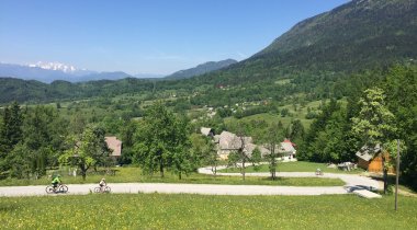
K42 – Il Sentiero del rosario in bici
Da Tržič, attraverso Brda e Dobrava lungo il singolare Sentiero di pellegrinaggio fino alla Basilica di Maria Ausiliatrice a Brezje. Il percorso circolare che ci conduce attraverso boschi ombrosi e attraverso prati fioriti calma la mente e rilassa il corpo.
tipo di sentiero: mountainbike
lunghezza: 20 km
dislivello: 350 m
difficoltà: *
vista: ***
-
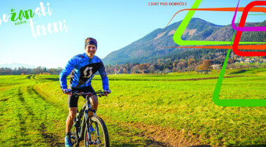
K43 - Dobrča
Un giro difficile ma bello attraverso i monti di TržičPer il riscaldamento pedaleremo da Tržič al balcone dell’Alta Carniola e saliremo dal versante di Radovljica fino al rifugio sul Dobrča. Il più appassionati alla discesa potranno godersi un’escursione a piedi sulla vetta a circa mezz’ora di camminata. Il risultato? Dei lodevoli 1250 m di dislivello.
tipo di sentiero: mountainbike
lunghezza: 27 km
dislivello: 1.250 m
difficoltà: *****
vista: *****
-
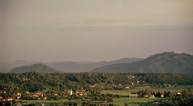
K51 – Il bosco Udin boršt – in bici lungo la pendice attraversandolo con coraggio
Un facile giro attraverso il parco paesaggistico del bosco di UdinIl bosco Udin Boršt è noto per i suoi banditi, che si nascondevano nelle profondità del bosco e nelle doline e nelle grotte carsiche. È anche noto per essere un vero e proprio labirinto di sentieri. Durante il nostro percorso potremmo studiare il bosco Udin boršt dalla pianura e solo dopo, nella seconda parte, lo attraverseremo. Non vi preoccupate, se seguirete le seguenti istruzioni, le possibilità di perdersi saranno molto poche ...
tipo di sentiero: mountainbike
lunghezza: 26 km
dislivello: 200 m
difficoltà: *
vista: ***
-
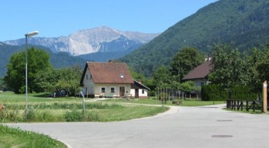
K52 – Una passeggiata in bici lungo il Sentiero delle tre campane
Una passeggiata in bici lungo il Sentiero delle tre campaneUn percorso ciclabile non impegnativo ci porta attraverso il bosco di Udin (Udin Boršt) lungo il Sentiero delle tre campane. Prendiamoci il tempo per iniziare a riscaldarci e terminare con gli esercizi di allungamento nelle tre aree sportive lungo il sentiero. Non lontano dal percorso c’è un sentiero didattico che attraversa la zona umida di Blato, e nel paesino Žiganja vas potrete entrare nel tronco di un tiglio di oltre 500 anni.
tipo di sentiero: mountainbike
lunghezza: 10 km
dislivello: 170 m
difficoltà: *
vista: ***
-
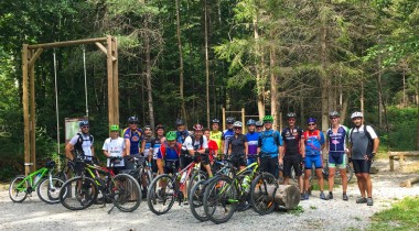
K53 – Attraverso il bosco di Udin fino a Kriva jelka
Un facile percorso circolareLa Kriva jelka è una riserva naturale nel bosco di Udin (Udin Boršt), dove un tempo si riunivano i briganti, mentre oggi è un luogo dove si incontrano gli amanti della natura, gli escursionisti e anche i ciclisti.
tipo di sentiero: mountainbike
lunghezza: 24 km
dislivello: 250 m
difficoltà: *
vista: ***
-
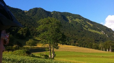
K54 - Gozd
In bici fino all'area di decollo da parapendioIl Gozd ("Bosco") sotto il Kriška gora è un popolare punto di partenza per le salite in montagna verso il Kriška gora e il Tolsti vrh ed è anche un importante punto di partenza per i parapendisti. Con poco meno di 900 metri sul livello del mare, sarà il punto più alto del nostro percorso in bicicletta.
tipo di sentiero: mountainbike
lunghezza: 13 km
dislivello: 450 m
difficoltà: ***
vista: ***
-
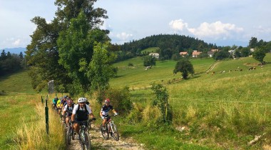
K55 - Gozd – Bosco di Udin
In bici sotto il Kriška GoraPer trovare un percorso ciclistico variegato non sempre si deve andare in mezzo ad una montagna. Dei percorsi interessanti, soprattutto in buona compagnia, possono essere fatti anche alle pendici delle montagne, all’ombra degli alberi e con meravigliose viste oltre i prati. Il percorso Gozd – bosco di Udin (Udin boršt) è proprio questo.
tipo di sentiero: mountainbike
lunghezza: 27 km
dislivello: 650 m
difficoltà: ***
vista: ****
-
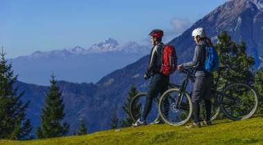
Percorso MTB a lunga distanza Trans Karavanke
Girare in sella ad una bici sotto le cime delle Caravanche. Il più grande premio sul percorso MTB lungo 132 km con un dislivello di 5.700 metri è una vista meravigliosa e la bellezza della natura.
tipo di sentiero: mountainbike
lunghezza: 132 km
dislivello: 5.700 m
difficoltà: *****
vista: *****
